
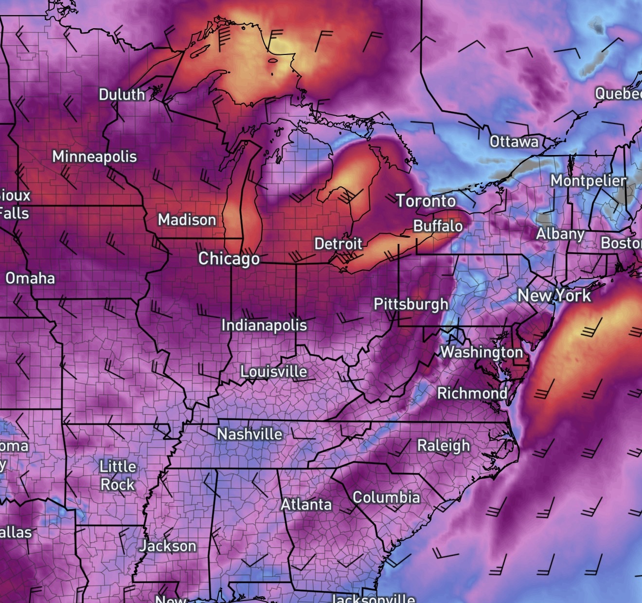
An intensifying low-pressure system, often called a “bomb cyclone,” is developing an will push a strong cold front through the Midwest and into the MidAtlantic late Sunday into Monday bringing intense wind and a significant temperature drop which could last into midweek.
Wind and Weather Impacts
- Strong Wind Gusts: Winds are expected to shift from the southwest to the west-northwest as the front passes. Gusts may exceed 30–40 mph starting Monday afternoon and lasting through Tuesday morning.
- Temperature “Crash”: Monday will start unusually warm with highs in the mid-60s ahead of the front. Following the frontal passage Monday evening, temperatures will drop rapidly into the upper 20s by Tuesday morning.
- Precipitation: Snow will come along with the powerful system and will bring wintry weather, including big snow to the Upper Peninsula and into Ontario.
Safety and Preparations
- Secure Outdoor Objects: Strong gusts can blow around loose items like holiday decorations or trash cans.
- Travel Precautions: High-profile vehicles should use extra caution driving on Monday and Tuesday due to sudden gusts. Air travel may be impacted due to the strong wind.
- Monitor Alerts: For the latest local watches or warnings for your area.