
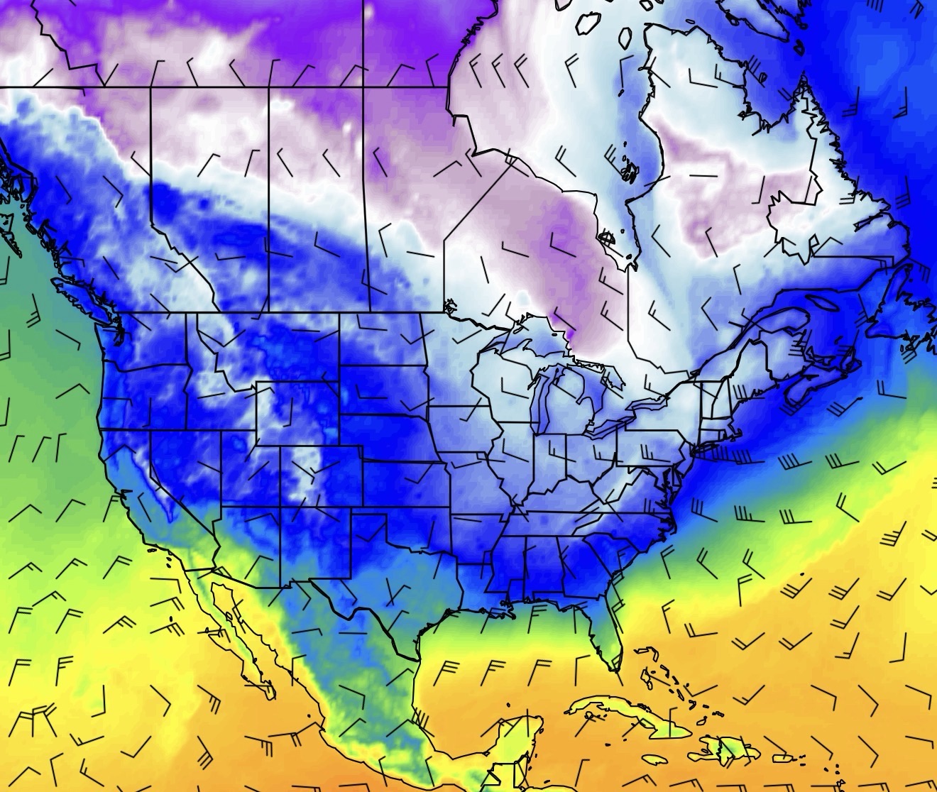
Much colder air is expected to arrive next week (late December 2025) in the central and eastern U.S. after some unseasonably warm days leading up to Christmas, bringing a return to colder, more seasonal winter conditions with potential for gusty winds and light snow/freezing temps, particularly in the Appalachians, with a strong Arctic blast possibly building into January.
What to Expect:
- Warm-up then Cool Down: Enjoy mild temperatures now, but expect a shift as a cold front brings colder, below-average temps by early to mid-next week.
- Arctic Air: A significant cold air mass from northern Canada is moving in, bringing the coldest air so far this season.
- Snow Potential: The cold air, combined with warmer lake waters, could trigger lake-effect snow (especially near Great Lakes) and even some slushy snow in the Appalachians (NC, TN, WV) from Sunday into Monday.
- Hazardous Travel: Sudden drops in visibility from snow squalls could create dangerous driving conditions.
- Beyond Christmas: Some forecasts hint at even colder air and more winter weather opportunities extending into January.
Where to Watch:
Midwest, Northeast, and Appalachians are key areas for this cold snap and potential snow.
