
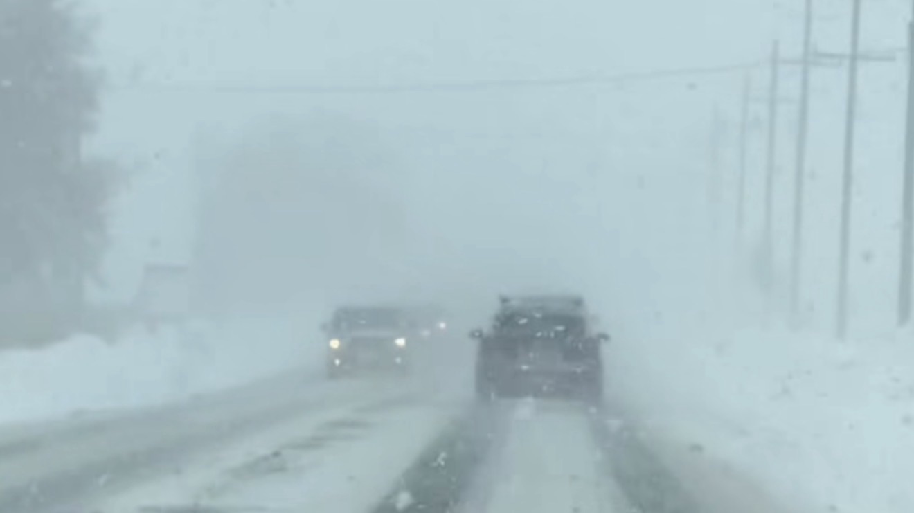
A powerful winter storm is affecting several of Eastern Canada’s most visited regions. Travellers should be prepared for 30 to 50 cm (12–20 inches) of snowfall, near‑zero visibility, and northerly wind gusts up to 60 km/h (37 mph). Conditions will vary by location, but all major tourist areas will experience significant impacts.
Hundreds of flights have been cancelled and delayed in the United States.
Late Weekend Storm to Bring More Snow to Central Canada and the Great Lakes.

A rapidly intensifying low pressure system is expected to track over the Great Lakes.
TIMING
A powerful winter storm is poised to sweep across Northern Ontario, bringing 30–50 cm of snow, northerly wind gusts up to 60 km/h, and near‑zero visibility at times. The system is expected to arrive Sunday evening and persist through Monday night, creating hazardous conditions across the region.
With the potential for road closures, prolonged utility outages, and significant travel disruptions, residents and travelers should prepare for a high‑impact event.
❄️ Storm Overview
- Snowfall: 30–50 cm (11-20 in)
- Winds: Northerly gusts up to 60 km/h
- Visibility: Near zero during heavy snow and blowing snow
- Timing: Sunday evening through Monday night
- Risks: Road closures, utility outages, major travel delays
This storm is expected to be particularly disruptive for communities across Northern Ontario, including Timmins and surrounding areas.
✈️ How the Storm Will Impact Air Travel
- Timmins Victor M. Power Airport (YTS)
Travelers flying in or out of Timmins should brace for major disruptions. Conditions such as heavy snowfall and blowing snow will make airport operations extremely challenging.
Expected impacts include:
- Flight delays and cancellations (highly likely)
- Ground stops during periods of zero visibility
- De‑icing delays and slower turnaround times
- Runway clearing challenges due to rapid accumulation
- Potential airport closure if snowfall becomes unmanageable
Airlines serving Timmins—Air Canada, Porter, and Bearskin—often pre‑cancel flights during storms of this magnitude to avoid stranding passengers and crews.

- Other Northern Ontario Airports
Even areas outside the storm’s core may experience disruptions due to shared weather systems and interconnected flight routes.
Airports with a high likelihood of delays or cancellations include:
- Sudbury (YSB)
- North Bay (YYB)
- Marquette (MQT)
- Sault Ste. Marie (YAM)
- Thunder Bay (YQT)
Because many aircraft and crews rotate through Timmins, delays can ripple outward, affecting schedules across the region.
- Major Canadian Hubs
Toronto Pearson (YYZ)
While Toronto is not expected to be directly hit by the storm, travelers should still anticipate delays, particularly on flights connecting to or from Northern Ontario.
Possible impacts include:
- Late‑arriving aircraft
- Gate congestion from delayed regional flights
- Increased demand for de‑icing services
Ottawa (YOW) & Montreal (YUL)
These hubs may see minor delays, especially if the storm shifts eastward. Regional feeder flights from Northern Ontario are at risk of cancellation.
Western Canada (YVR, YYC, YEG)
Western airports should experience minimal direct impact, but passengers connecting through Ontario may face delays or missed connections due to upstream cancellations.